Ecuador is a country on the Equator in northwestern South America. Several places in the country have been declared UNESCO World Heritage Sites, including the Galapagos Islands and the cities of Quito and Cuenca, which lie in the Andes that run from north to south through the country. The Ecuadorian Andes are also home to some of the highest active volcanoes such as the Cotopaxi.
Landscape & landmarks+
Tigua, for its bright paintings. […] The village of Calderon is known for its folk art. […] Chimborazo, highest peak in Ecuador.
There is a lot of variety as to what is typically eaten, depending on the location. In the Sierra, potatoes almost always accompany lunch and dinner, and in the coast rice is popular. Soup is also a big part of lunch and dinner. Breakfasts often consist of toast, eggs, and juice or fruit. Batidos, or fruit shakes, are popular breakfast items or snacks.
Excerpts from Wikivoyage contributors, revision 2026-09-02. CC BY-SA 4.0. Selected excerpts; wiki formatting removed; omissions marked […]. Guide wording and any figures belong to this dated source; they do not replace the atlas statistics above. Food descriptions are not official national-dish designations.
A little more to discover +
National flower
Not yet verified
Official national dish
Not yet verified
Representative food
Not yet verified
Subregion
South America
Calling code
+593
Internet domain
.ec
Land border codes
COL, PER
Quick facts
Traffic keeps to the right side of the road. Source ↗
Ratio = comparison country's source area ÷ Ecuador's source area; rounded to two decimals. Rankings use competition ranks (ties share a rank). Area values use the pinned geographic snapshot, not a population observation year.
Static source offsets, not a live clock or daylight-saving calculation. Source ↗
Computed from the atlas snapshot retrieved September 26, 2026. Population rank excludes the one country without 2024 data; no claim of an all-territory global ranking.
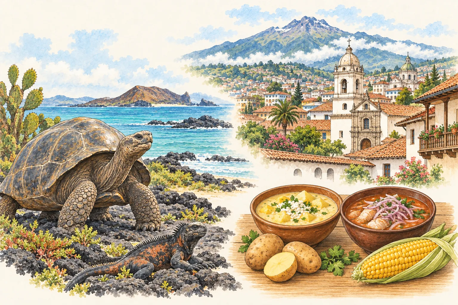
AI-generated illustrative artwork. These composite scenes are not maps, photographs or exact viewpoints. Facts come from the linked sources; the pictures are not evidence.
A little journey through Ecuador +
Move between Galápagos wildlife, Quito’s Andean setting and foods shaped by different regions. This illustrated collage joins places that are far apart: the islands lie in the Pacific, while Quito and its historic centre sit in the mountains.
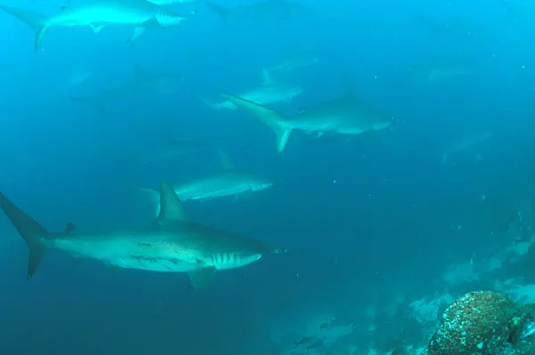
Far out in the Pacific, volcanic islands and surrounding waters hold closely connected worlds. Isolation helped distinctive species evolve, while ocean currents bring together varied marine life. Look from the lava shore to the sea, and notice how each setting shapes the animals that live there.
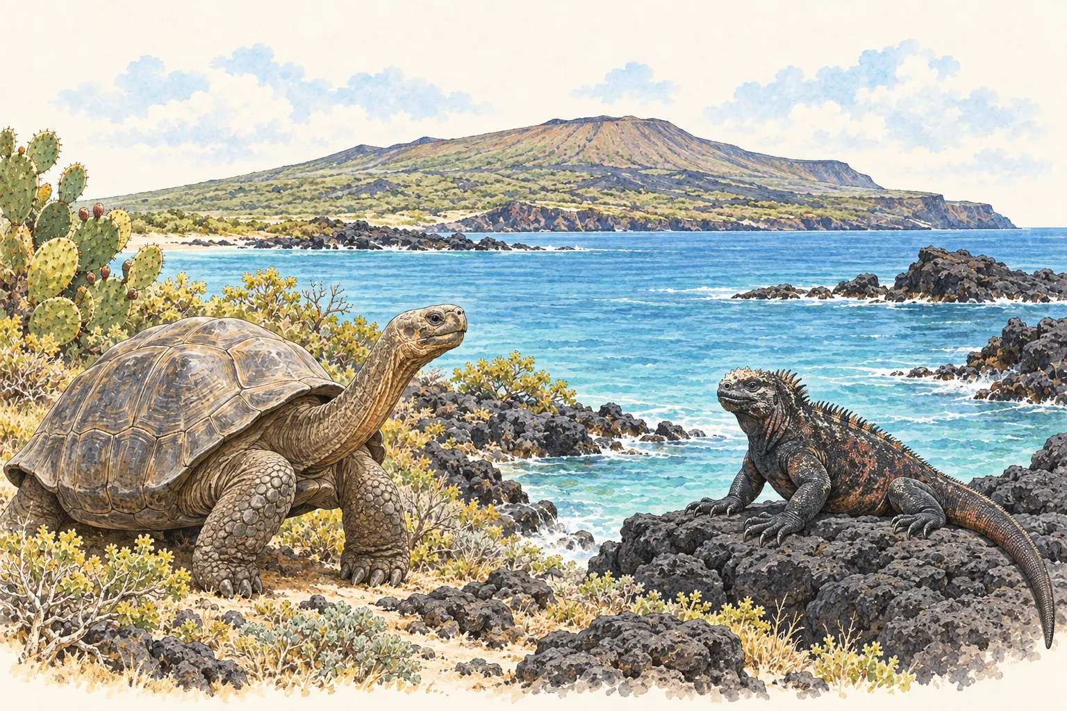
Volcanic and seismic processes formed these islands and continue to reshape them. UNESCO describes younger volcanic landscapes in the west and older islands to the east. UNESCO — Galápagos Islands ↗
Giant tortoises
Giant tortoises are among the archipelago’s emblematic animals. Alongside finches and other groups, they illustrate how island environments can support the development of distinct forms. UNESCO — Galápagos Islands ↗
Life between land and sea
Marine iguanas are found naturally only in the Galápagos. Their dependence on the sea is one example of the close connection between island and marine habitats. UNESCO — Galápagos Islands ↗
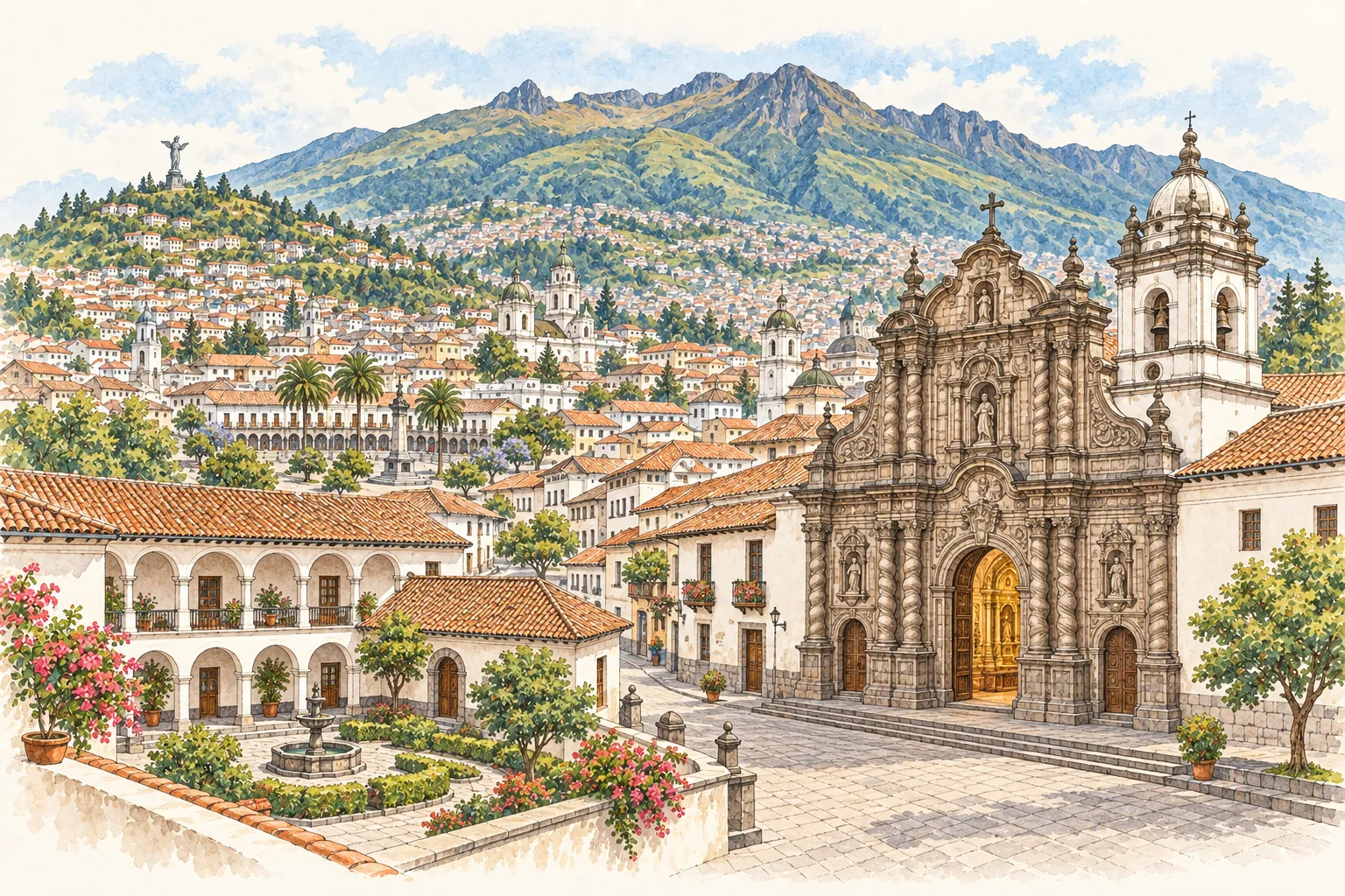
Quito’s historic centre sits in an Andean setting shaped by hills and the slopes of Pichincha Volcano. Streets and squares connect houses, churches and convents. Its buildings and art reflect encounters between Indigenous and European traditions, giving this mountain city its distinctive historic character.
Quito stretches along the slopes of Pichincha Volcano, with Panecillo and Ichimbia among its bordering hills. The surrounding terrain is part of the city’s setting. UNESCO — City of Quito ↗
Streets and courtyards
The historic centre retains a street grid with principal and smaller squares. Houses with interior patios sit alongside larger religious buildings in this urban pattern. UNESCO — City of Quito ↗
The Quito School
The Baroque School of Quito brought Indigenous and European artistic traditions together. Its influence appears in architecture, paintings, sculpture and the decorated interiors of churches. UNESCO — City of Quito ↗
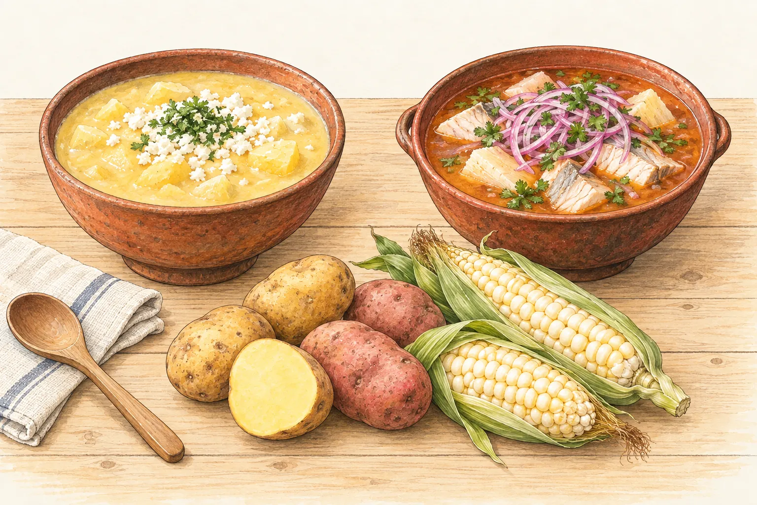
Ecuador’s food changes with its landscapes. Seafood features along the coast and in the Galápagos, while potatoes and maize are prominent in Andean cooking. These dishes offer a few starting points for discovery; no single plate represents every region or household.
This thick potato-and-cheese soup is associated with the Andean highlands. Ecuador’s tourism guide lists Pichincha as a home for this dish and notes variations in family kitchens. Ecuador Travel — What to eat ↗
Encebollado
In Guayaquil, encebollado brings albacora fish and cassava together in a soup. It is one example of the coastal dishes highlighted by Ecuador’s official tourism guide. Ecuador Travel — Coastal gastronomy ↗
Highland ingredients
Potatoes and maize feature in the official tourism guide’s description of Andean food. Regional ingredients help explain why a journey across Ecuador also changes the table. Ecuador Travel — What to eat ↗