oceania • KIR
Kiribati
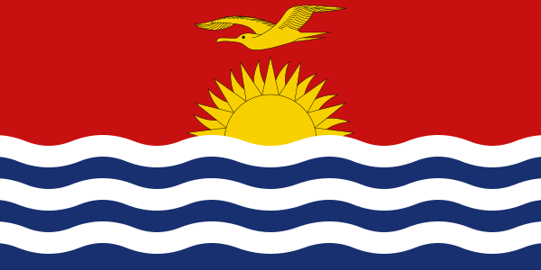
Location marker · geographic overview
1.42° N / 173° ETHE WORLD, ONE COUNTRY AT A TIME
- Capital
- South Tarawa
- Population
- 134,518 2024
- Area
- 811 km² (year unavailable)
- Languages source-listed
- English, Gilbertese
- Currency
- Australian dollar (AUD), Kiribati dollar (KID)
- Geography
- Island country
Population: World Bank 2024. Other facts: REST Countries snapshot. Sources & limitations.
STAY A LITTLE LONGER
Discover Kiribati
FROM THE TRAVEL GUIDE · Kiribati
Kiribati (pronounced Kiribahs) is a remote archipelago nation in Micronesia, at the equator.
Landscape & landmarks
Kiribati has some beautiful beach scenery, is a great place for boating or yachting and many of the atolls are lovely to explore on bike or foot. The lagoons are stunning to look at and the white sandy beaches and waving palm trees are a typical holiday brochure sight. Especially on the outer islands you'll find traditional culture is still very much alive.Read the see section ↗
Excerpts from Wikivoyage contributors, revision 2026-09-15. CC BY-SA 4.0. Selected excerpts; wiki formatting removed; omissions marked […]. Guide wording and any figures belong to this dated source; they do not replace the atlas statistics above. Food descriptions are not official national-dish designations.
A little more to discover +
- National flower
- Not yet verified
- Official national dish
- Not yet verified
- Representative food
- Not yet verified
- Subregion
- Micronesia
- Calling code
- +686
- Internet domain
- .ki
- Land border codes
- None listed
Quick facts
- Traffic keeps to the left side of the road. Source ↗
- The country-code web domain is .ki. Source ↗
- The source lists monday as the start of the week. Source ↗
Population: World Bank 2024. Other facts: REST Countries snapshot. Source-matched September 26, 2026; not live data. Sources & limitations.