north america • ATG
Antigua and Barbuda
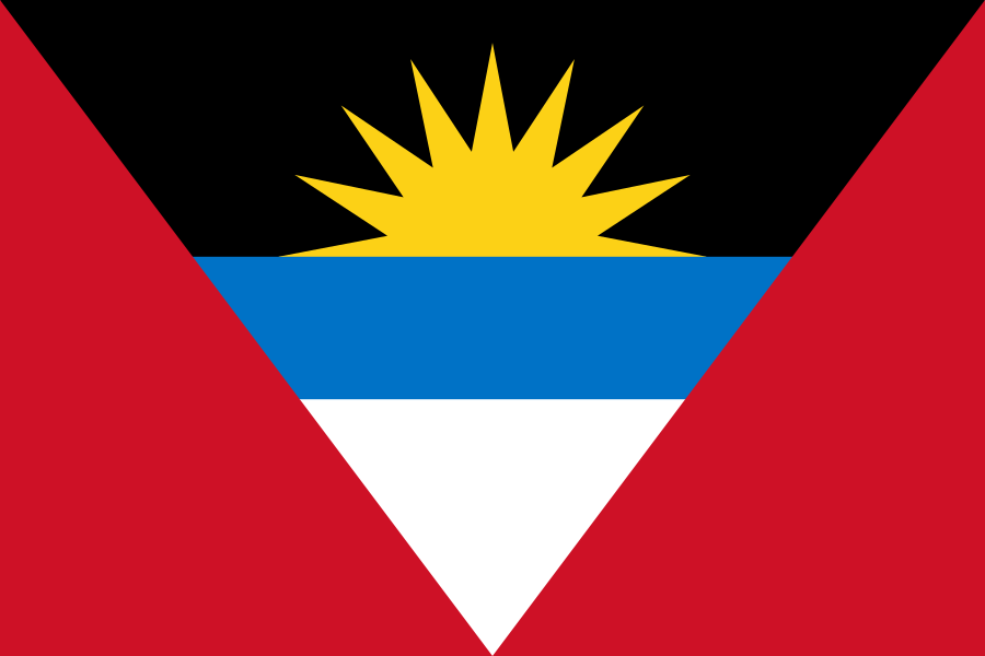
Location marker · geographic overview
17.05° N / 61.8° WTHE WORLD, ONE COUNTRY AT A TIME
- Capital
- Saint John's
- Population
- 93,772 2024
- Area
- 442 km² (year unavailable)
- Languages source-listed
- English
- Currency
- Eastern Caribbean dollar (XCD)
- Geography
- Island country
Population: World Bank 2024. Other facts: REST Countries snapshot. Sources & limitations.
STAY A LITTLE LONGER
Discover Antigua and Barbuda


FROM THE TRAVEL GUIDE · Antigua and Barbuda
Antigua and Barbuda are two Caribbean islands that form a country that lies between the Caribbean Sea and the North Atlantic Ocean, east-southeast of Puerto Rico.
Landscape & landmarks
Nelson's Dockyard in English Harbour, Antigua's only World Heritage Site since 2016Read the see section ↗
Food & everyday culture
The national dish is fungie (pronounced foon-gee) and pepper pot. Fungie is a dish very similar to the Italian Polenta being made mainly of cornmeal. Other local dishes include ducana, seasoned rice, saltfish and lobster (from Barbuda). Local confectionaries include sugarcake, fudge, raspberry and tamarind stew, and peanut brittle. The various restaurants around the island sell both local and international food.Read the eat section ↗
Excerpts from Wikivoyage contributors, revision 2026-08-31. CC BY-SA 4.0. Selected excerpts; wiki formatting removed; omissions marked […]. Guide wording and any figures belong to this dated source; they do not replace the atlas statistics above. Food descriptions are not official national-dish designations.
A little more to discover +
- National flower
- Not yet verified
- Official national dish
- Not yet verified
- Representative food
- Not yet verified
- Subregion
- Caribbean
- Calling code
- +1268
- Internet domain
- .ag
- Land border codes
- None listed
Quick facts
- Traffic keeps to the left side of the road. Source ↗
- The country-code web domain is .ag. Source ↗
- The source lists monday as the start of the week. Source ↗
Population: World Bank 2024. Other facts: REST Countries snapshot. Source-matched September 26, 2026; not live data. Sources & limitations.