oceania • PNG
Papua New Guinea
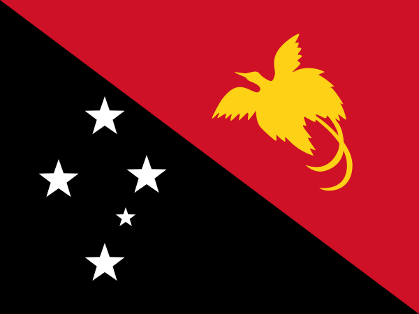
Location marker · geographic overview
6° S / 147° ETHE WORLD, ONE COUNTRY AT A TIME
- Capital
- Port Moresby
- Population
- 10,576,502 2024
- Area
- 462,840 km² (year unavailable)
- Languages source-listed
- English, Hiri Motu, Tok Pisin
- Currency
- Papua New Guinean kina (PGK)
- Geography
- Island country
Population: World Bank 2024. Other facts: REST Countries snapshot. Sources & limitations.
STAY A LITTLE LONGER
Discover Papua New Guinea
FROM THE TRAVEL GUIDE · Papua New Guinea
The Independent State of Papua New Guinea (PNG, Tok Pisin: Papua Niugini, Hiri Motu: Papua Niu Gini) comprises the eastern part of the world's largest and highest tropical island, New Guinea, together with many smaller offshore islands.
Landscape & landmarks
The Kokoda Trail is a 60-mile (97-kilometre) trail, beginning in the Port Moresby area and leading up into the Owen Stanley Range. This trail was first used by gold miners in the 1890s and is most known as a historical World War II site as the Japanese tried to reach Port Moresby along it.Read the see section ↗
Food & everyday culture
The food is largely devoid of spices. A typical way of cooking is a Mumu, an underground oven in which meat and vegetables, such as Kaukau (sweet potatoes), are cooked. In just about every meal, there is rice and another form of starch.Read the eat section ↗
Excerpts from Wikivoyage contributors, revision 2026-09-06. CC BY-SA 4.0. Selected excerpts; wiki formatting removed; omissions marked […]. Guide wording and any figures belong to this dated source; they do not replace the atlas statistics above. Food descriptions are not official national-dish designations.
A little more to discover +
- National flower
- Not yet verified
- Official national dish
- Not yet verified
- Representative food
- Not yet verified
- Subregion
- Melanesia
- Calling code
- +675
- Internet domain
- .pg
- Land border codes
- IDN
Quick facts
- Traffic keeps to the left side of the road. Source ↗
- The country-code web domain is .pg. Source ↗
- The source lists monday as the start of the week. Source ↗
Population: World Bank 2024. Other facts: REST Countries snapshot. Source-matched September 26, 2026; not live data. Sources & limitations.